File:Novella Islands States Map.svg
Jump to navigation
Jump to search

Size of this PNG preview of this SVG file: 512 × 334 pixels. Other resolution: 2,560 × 1,670 pixels.
Original file (SVG file, nominally 512 × 334 pixels, file size: 1.11 MB)
Summary[edit | edit source]
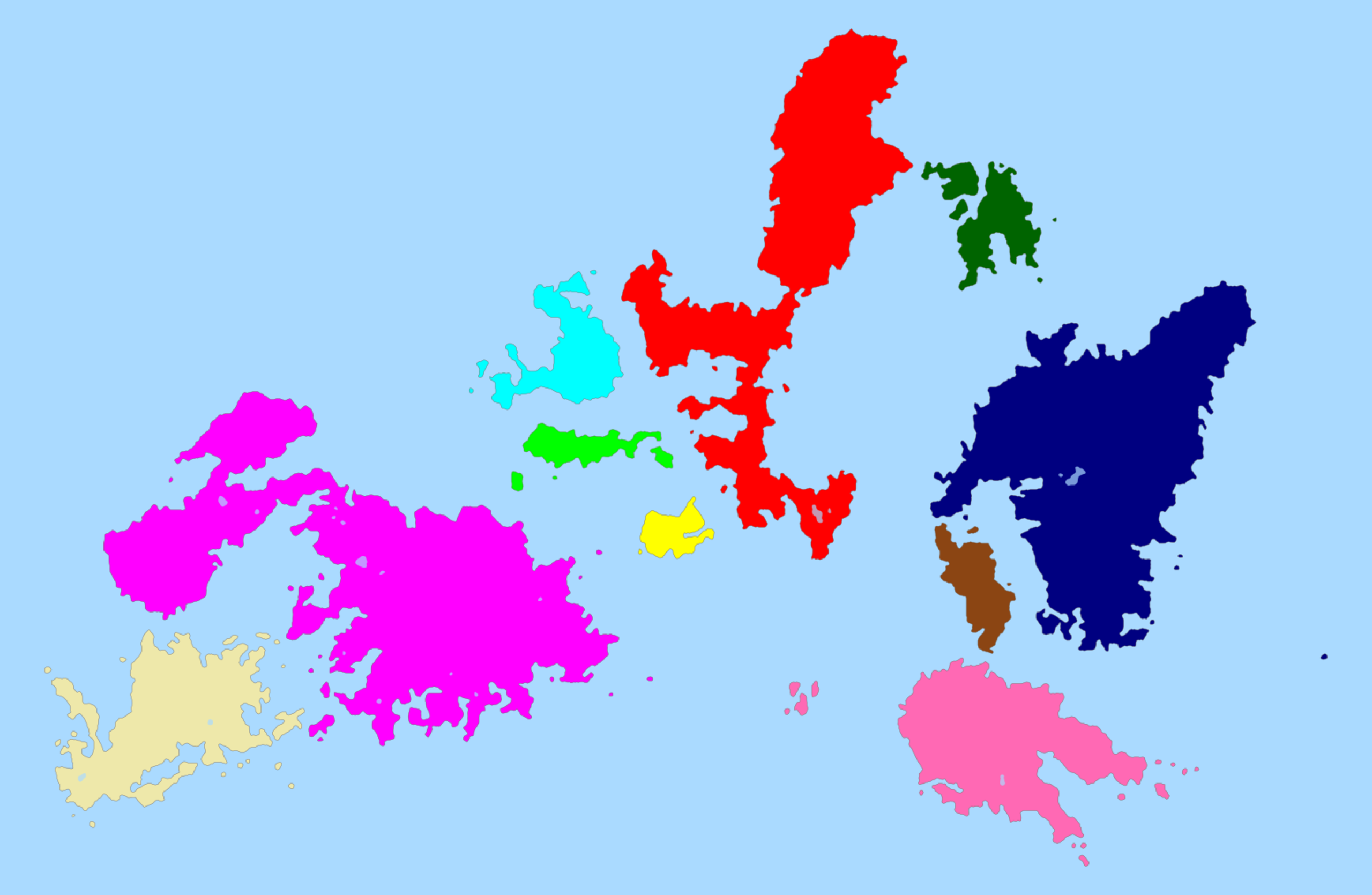
Map of the Novellan Archipelago, highlighting each of the states' boundaries.
File history
Click on a date/time to view the file as it appeared at that time.
| Date/Time | Thumbnail | Dimensions | User | Comment | |
|---|---|---|---|---|---|
| current | 07:15, 13 March 2023 | | 512 × 334 (1.11 MB) | NovellaIslands (talk | contribs) | Map of the Novellan Archipelago, highlighting each of the states' boundaries. |
You cannot overwrite this file.
File usage
The following page uses this file: